Cran-Gevrier France
The Mountain04

The Mountain · Guides / Lifts / Rescue

The Mer de Glace, by the Numbers

A century of glaciological observation has turned France's largest glacier into one of the most precisely documented retreats in the world.

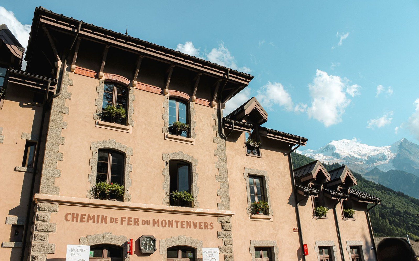
The Chemin de Fer du Montenvers station building with snowy peaks in the background
The Montenvers terminus. The glacier below it has been measured from the same vantage for more than a century.Photo: Mathias Reding / Pexels

What the Records Show

The Mer de Glace descends from the flanks of Mont Blanc, ending above the Chamonix valley at roughly 1,500 metres. At its longest historical extent it ran to approximately 14 kilometres. Observations by the Laboratoire de Glaciologie et Géophysique de l'Environnement, now part of the Institut des Géosciences de l'Environnement in Grenoble, have tracked its retreat systematically since the mid-twentieth century, building on photographic records held at the Montenvers mountain-railway station dating back to the nineteenth century.

The figures are unambiguous. The glacier has lost around 150 metres in depth since 1900, and the surface at the point closest to Montenvers station has dropped so far below the railway platform that the access staircase had to be extended repeatedly — it now descends more than 500 steps. Between 2003 and 2023 alone, the glacier retreated in length by several hundred metres, with the pace of loss measurably accelerating after the heat waves of 2003 and 2022. Météo-France's published seasonal analyses attribute this acceleration directly to summer temperature anomalies over the Mont Blanc massif.
Surface area loss compounds the length retreat. The glacier has shed roughly a quarter of its area since reliable areal measurements began in the early twentieth century. Annual mass-balance data — the standard glaciological measure comparing winter accumulation against summer melt — have been negative for the Mer de Glace in nearly every year of the past three decades, a pattern consistent with Alpine-wide findings published by the World Glacier Monitoring Service.

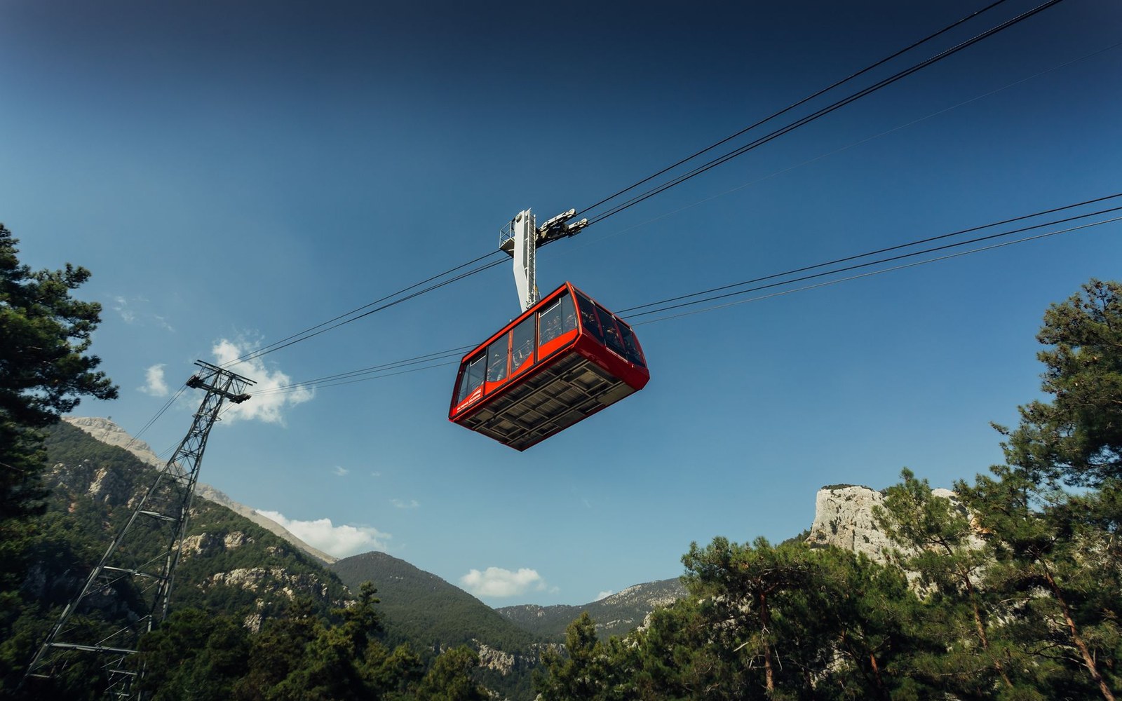
The Compagnie du Mont Blanc, which operates both the Aiguille du Midi cable car above Chamonix and the Montenvers rack railway that brings visitors to the glacier's edge, maintains the reference photographs at Montenvers as a public record. The contrast between images from the 1890s and the view from the same station today is the glacier's own most legible data point — the tongue of ice has retreated far enough that the cave once carved annually into the glacier's side for tourist access is now reached by a long walkway across exposed moraine.

Key measurements
Historical maximum lengthapproximately 14 km
Depth loss since 1900around 150 metres at the Montenvers measurement point
Montenvers staircaseextended repeatedly; now exceeds 500 steps to reach the ice
Surface areaapproximately one quarter lost since early twentieth-century baseline
Mass-balance recordnegative in nearly every year of the past three decades